
Mt Rainier Summit - Handheld GPS Tracks
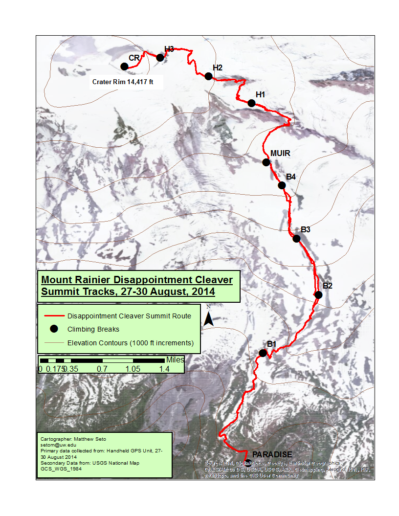
Using a Handheld Garmin eTrex 20, I traced my summit route to the top of Mt Rainier. The route and waypoints were exported and modeled in ESRI ArcMap to display the route we took to summit the mountain.